
Search Batavia Township Streets by Parcel
A Batavia Township street-by-street search works best as a chain of address-keyed records, not as a roster. Start with the physical address in the Clermont County Auditor search. That result supplies the parcel and the current owner field. Next, use the parcel in the county map to check the road, address point, Township or Village line, and nearby lot shape. The recorded deed then tests the legal description and identifies the preceding party. Voter records can confirm a registered elector only through their separate, limited systems. Historical newspapers, maps, and census material may add household context after the parcel has been anchored.
- Enter the number and road in the Auditor address mode, then retain the parcel ID, site address, and current owner spelling.
- Open that parcel in Clermont GIS and compare the road, subdivision or lot geometry, Township boundary, ZIP layer, and address point.
- Use the owner name and legal-description clues in the Recorder index to locate the acquisition deed and its prior party.
- For a known individual, use the Ohio voter tools or request a defined Board of Elections record. They are not a street-wide browsing list.
- For an earlier era, pair the parcel trail with the Batavia library and CCGS collections, newspapers, maps, and the relevant census period.
Each step narrows the next one. A matching road name alone is weak evidence on a rural or boundary-area property, especially where a postal Batavia label can serve more than one government jurisdiction.
Batavia Township Street Directory in Address Mode
The Clermont Auditor address search is the first official stop for a Batavia Township by-address search. The Auditor separates address, owner, parcel, map, and advanced modes. Use the address mode for a road, not the owner tab. When a result appears, the useful pivot is the parcel record. The county says it administers nearly 95,000 real-property parcels, so an address result remains a property and assessment lead, not a statement about every person connected with the location.
| Auditor control | Use for a street search | Result to preserve |
|---|---|---|
| Address mode | Start with the street and number. | Matching parcel and parcel address. |
| Parcel mode | Accepts all or part of a parcel ID after the address result. | Parcel-specific property record. |
| Owner mode | Enter LastName FirstName; partial text and * are accepted, with two characters required. | Owner-name variants and linked parcels. |
| Result sorting | Sort by Parcel ID, Owner Name, Parcel Address, Last Sale, or Price. | A controlled way to review similar results. |
| Advanced mode | Offers property criteria including street name, street number, and ZIP Code. | A property filter, not a complete resident list. |
The Auditor interface also allows 10, 15, 20, or 25 results per page. Record the date of a search because property-card details and value information can change. The Auditor warned in 2026 about unofficial property-tax-relief videos, so rely on the live county result or the official office when checking a property claim.
See the captured Auditor address-search screen before entering a road query.
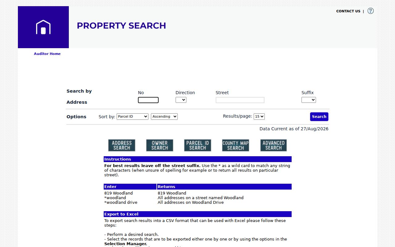
The address tab keeps a road query separate from the owner-name search, which helps preserve the address-to-parcel order.
Map a Batavia Township Street Parcel
Clermont GIS is the spatial check for a Batavia Township street result. The official map supports address, parcel ID, owner, and road searching. If an exact entry fails, county training material advises using less text, such as a house number or partial road name. A returned parcel or road is outlined in red, and a left-click opens additional layer information. The map also offers measure, draw, and print tools, plus datasets for address points, parcels, roads, precincts, Township lines, ZIP boundaries, zoning, and more.
- Parcel
- A defined unit of land in the Auditor and GIS systems. Its parcel ID is the best handoff between address research and property records.
- Situs address
- The physical location used to locate a parcel. It may differ from the address used for tax correspondence.
- Legal description
- The lot, block, subdivision, survey, acreage, or metes-and-bounds wording in a recorded instrument. It is the stronger historic identifier.
- Plat
- A recorded map that can show subdivision, lot, and road relationships. It helps test whether an older property reference concerns the same land.
The map is a graphical research tool, not a legal boundary certification. It is particularly important near the Village of Batavia or Amelia area, where postal wording does not decide whether Township, Village, or county records are appropriate.
Use the county’s General Online Maps to see the layers and controls described here.
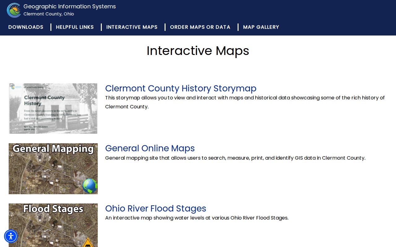
The GIS view is most useful when it confirms that the address, parcel shape, road, and government boundary all point to the same property.
Batavia Township Street Records by Address
Several custodians hold address-keyed records, but each answers a different question. The Auditor is the current parcel and owner route. GIS places that parcel among roads, addresses, and public layers. The Recorder ties a legal description to land instruments. Township zoning and County Permit Central can add a dated application or project record when an exact address, parcel, date range, and record type are supplied. The voter system is narrower: it can confirm a person or support a defined lawful inspection request, but neither state nor county screen is a free-form all-voters-on-a-street search.
| Address record | Local keeper | What it can support | Available path |
|---|---|---|---|
| Property record | Clermont County Auditor | Parcel, owner, assessment context, and sale leads. | Free web search, office inquiry, or a defined records request. |
| Parcel and road map | Clermont GIS | Address point, parcel geometry, roads, precinct, Township, ZIP, and zoning layers. | Interactive map, GIS office, or public dataset download. |
| Recorded instruments | Clermont County Recorder | Deeds, mortgages, plats, easements, liens, and legal descriptions. | CountyFusion, counter copies, or written mail request. |
| Zoning certificate file | Batavia Township Planning and Zoning | Defined application, project, parcel, lot, setback, and certificate clues. | Forms portal, phone contact, or an ORC 149.43 request. |
| Permit file or report | Clermont Permit Central | Permit number, project address, work class, declared value, area, and owner field. | Published reports or an address/date-specific request. |
| Election record | Ohio and Clermont election custodians | Public voter categories for a known person, subject to exclusions. | Individual lookup or a defined Board of Elections inspection/request path. |
Ohio My Voter Information requires first name, last name, and county, then may offer street narrowing after an initial match. Clermont Voter View requires first name, last name, and date of birth. A public record can support a careful check, not a claim that every occupant is identified.
Note: Use the office that created the record when asking for a dated address file; the Records Center stores material but does not control release decisions.
Batavia Township Address Permit Clues
For an unincorporated Township parcel, Planning and Zoning can be a useful address-history source. Its forms and portal cover several zoning and permit paths, but no general online historical search of issued permits was verified. A focused request is more likely to be answerable: provide the street address, parcel if known, permit or certificate type, date range, and any zoning-certificate number. The current structure application itself shows why those fields matter. It records owner and contractor names, building address, subdivision, lot, nearest cross street, parcel ID, zoning, project details, setbacks, road frontage, date, certificate number, and payment line.
Township Planning and Zoning is at 1535 Clough Pike, Batavia, Ohio 45103. Its regular hours are Monday through Friday, 8:00 a.m. to 4:30 p.m., and its phone is 513-732-3888. Before selecting that office, use GIS to check whether the situs falls in the Township rather than the separate Village of Batavia. Village planning records are a separate route for Village parcels.
Review the Township forms and permit portal before making an address-specific request.
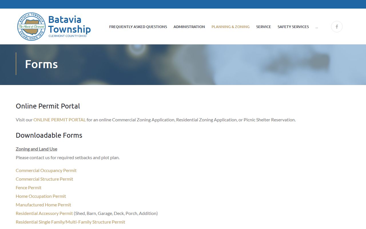
The form categories help describe the record sought without implying that the portal itself is a historic permit index.
Trace a Batavia Township Street Deed Chain
Recorder instruments add the time sequence to a by-address search. Clermont CountyFusion works by party and document information rather than as an address-first occupant index. Start from the Auditor parcel, retain the legal description or lot clues, and identify the current owner’s acquisition deed. The Recorder’s guidance says a name-only search is often the most complete; less input can return more spelling variants. That advice is useful when middle initials, nicknames, or uncertain spellings could hide a document.
- Find the current parcel and owner in Auditor search, then note the legal-description or subdivision clues.
- Search the owner in CountyFusion and locate the likely acquisition deed by document type, date, and property description.
- Compare the deed’s legal description to the parcel. Do not rely only on a matching street name.
- Take the former owner from the grantor field and search that person as a prior grantee to find the earlier purchase.
- Repeat backward, preserving each title transaction and checking the legal description at every step.
Online document images cover recordings from 1980 to the present. Earlier research has three documented fallback channels: visit the Recorder counter at 101 E. Main Street, submit a written mail request with the fee and a self-addressed stamped envelope, or ask staff for a defined record using the party, legal description, book/page, or document information. In-person computer prints cost 10 cents per page, book pulls cost 25 cents per page, and mail copies cost $2.00 per page. The Recorder is open 8:00 a.m. to 4:30 p.m.; its phone is 513-732-7236.
Follow the Recorder’s CountyFusion search instructions before working through the public/guest path and portal disclaimer.
The Recorder instructions are the current route for interpreting criteria, results, the document viewer, and the name-search guidance.
Batavia Township Street Names and Boundaries
A historic road label needs its own continuity check. The Recorder maintains plats, annexations, centerline surveys, street-name changes, and street or alley vacations, which are the proper local categories to request when an older road name or jurisdiction conflicts with a current address. Township history identifies Donnells Trace as present Old SR 74 or 32. That is a useful route-name clue, not proof that every historic mention concerns one parcel. Use the old road wording with the legal description, a period map, plat or subdivision data, and current GIS.
| Postal city label | Useful for mail, but it does not decide Township or Village jurisdiction. |
|---|---|
| ZIP code | Routes mail. Use USPS and the GIS ZIP layer for delivery and geography, not as a records-custodian shortcut. |
| Parcel boundary | The practical starting point for selecting Township, Village, or county sources. |
| Recorded plat or survey | Connects a road or lot reference to the land description in the Recorder trail. |
Open the Auditor parcel-ID search after the address result has supplied the parcel number.
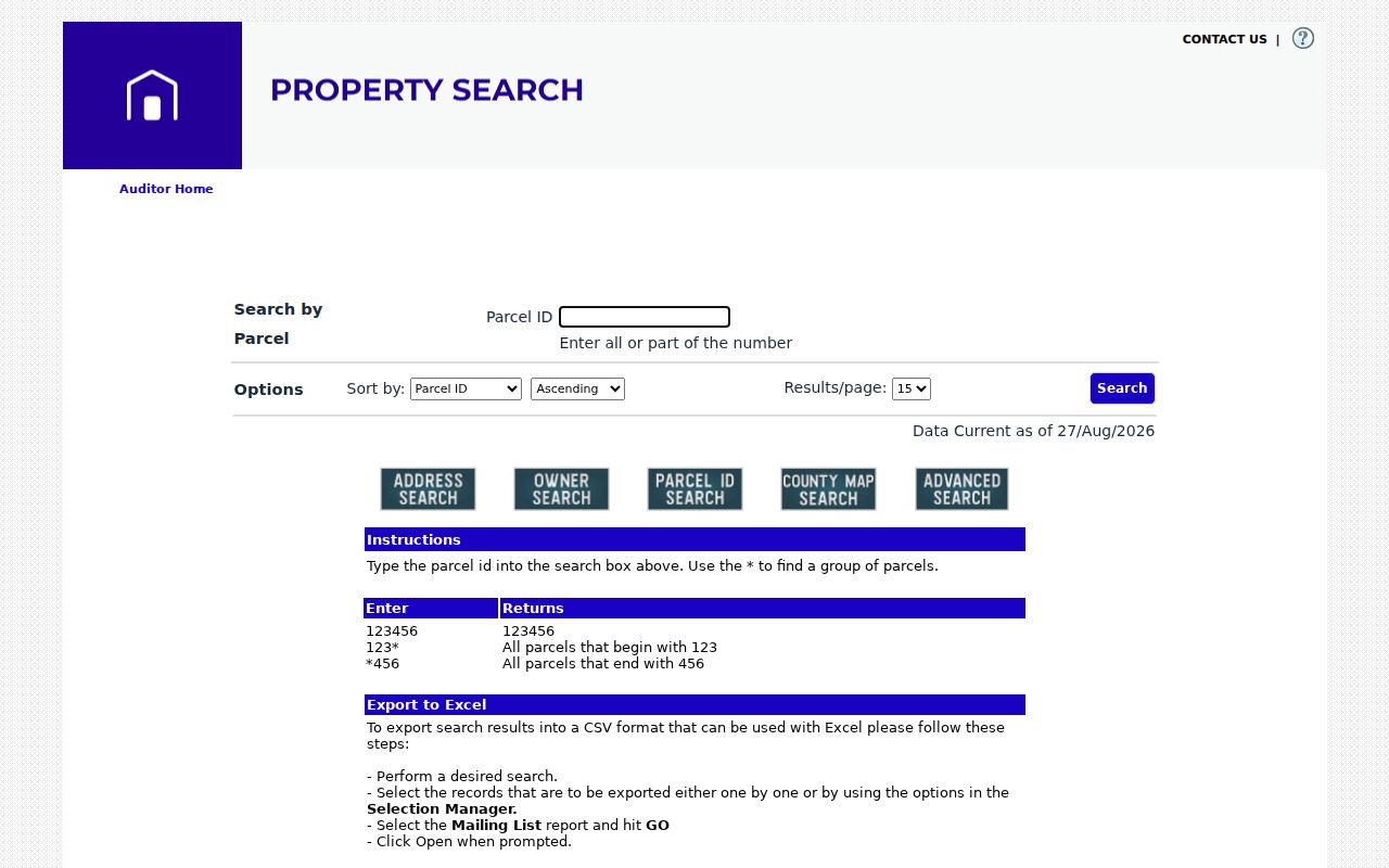
The parcel-ID route helps keep a road search attached to the intended lot when similar address text appears nearby.
For present zoning geography, consult the Batavia Township zoning information after confirming the parcel is in Township jurisdiction.
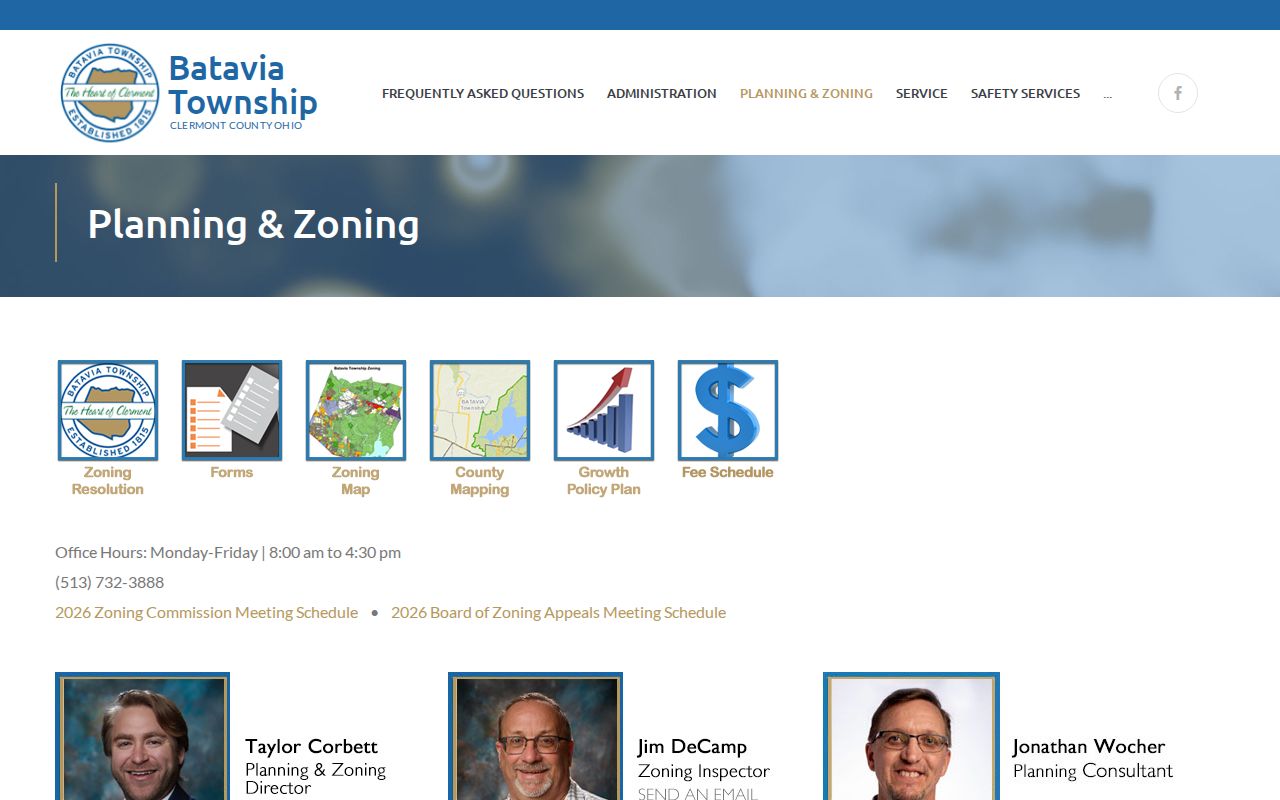
The zoning material provides parcel and road context, while older maps, hearings, and adopted records require an office request.
Batavia Township Street and ZIP Filters
A ZIP value can narrow an Auditor Advanced Search, but it cannot settle a street-record jurisdiction question. The documented Advanced Search criteria include ZIP Code, Street Name, Street Number, Parcel Number, legal description, sales information, and property characteristics. It returns assessor parcel data. Use that filter to reduce a property set, then open each matching parcel and compare its situs, legal description, and GIS layers. Do not treat the filtered result as a list of residents on a road.
Batavia Township postal geography crosses government boundaries. A 45103 label may occur in the Village of Batavia, unincorporated Township, or another relevant jurisdiction, while part of the Township edge can use an Amelia 45102 label. County GIS publishes Township, municipal, parcel, address-point, road, zoning, precinct, and ZIP layers. USPS verifies a mailing ZIP, but the parcel and government boundary select the records office.
Batavia Township Address Record Limits
An address record can establish a parcel, an owner of record, a deed party, a zoning-file applicant, or a registered elector found through a lawful individual route. It cannot produce a complete list of everyone at an address. A property owner may receive tax mail elsewhere. A person present at a situs may not appear on a deed. Utility and delivery data are not a public fallback, and motor-vehicle personal information is restricted by federal law and ORC 4501.27. The public voter systems also omit protected information and confidential Safe at Home records.
Lawful use. Use Batavia Township address records for personal, civic, family, or property-history research. Never use record details to stalk, threaten, harass, intimidate, or harm another person.
Ohio Safe at Home participants have confidential identifying information under ORC 111.41 through 111.47, including protection from public voter-file disclosure. A person who finds an unredacted eligible identifier online can ask the original public office about the precise ORC 149.45 redaction route; it is not a general deletion method for valid land records.
Batavia Township Recorded-Name Alert Checks
For a recorded-name concern, the Recorder’s FraudSleuth service is a current protective tool. It is free and can alert a user when a document is recorded against a name. Separate profiles are recommended for name forms such as first and last name, a middle name or initial, nicknames, and other variants. An alert is notice only. It does not establish fraud, ownership, or a person’s current connection to a street. Inspect the underlying document and contact the Recorder or appropriate authorities if a recorded item appears suspicious.
When an older street search reaches the web-image boundary, the next move is a focused request, not a broader name sweep. Give the Recorder a party, legal description, book/page, document number, or defined date range. For historical household clues that a land record cannot settle, the in-library CCGS and Batavia Branch collections provide newspapers, obituary cards, census guides, maps, and surname materials. The historical collections themselves are described on the Batavia Township city directory page.
Note: Preserve the source, search date, parcel identifier, and legal-description match for every result so later property records can be checked against the same land.