
Batavia Township ZIP Coverage and Postal Labels
Two documented standard ZIP locations are relevant to Batavia Township: 45103 for Batavia and 45102 for Amelia. The County GIS ZIP boundary data, government address examples, and the two post-office sources support that careful statement. They do not prove an exhaustive edge-by-edge list for every parcel in the Township. Postal labels route mail, while land, court, zoning, and permit records follow a parcel and the responsible government. A Batavia Township ZIP code directory is therefore most useful when it remains tied to an actual address rather than a broad place name.
| ZIP | Areas covered | Post office | Record-handling note |
|---|---|---|---|
| 45103 | Batavia postal area. Township Hall, county offices, the Batavia Library, courthouse, and Village or Township addresses commonly use this label. | USPS Batavia Post Office | Use GIS Township, municipal, parcel, and address layers to identify the actual government boundary. |
| 45102 | Amelia postal area touching or serving part of the broader Township boundary area. | USPS Amelia Post Office | An Amelia label does not make an address an Amelia government record. Locate the parcel and verify delivery. |
USPS identifies its Batavia location at 575 W. Main St., Batavia, OH 45103-9998, and its Amelia location at 7 S. Kline Ave., Amelia, OH 45102-9998. Those are post-office locations, not proof that any particular delivery address lies in a chosen jurisdiction. No PO-box-only or unique-institution ZIP serving Batavia Township was verified in the official sources reviewed.
Batavia Township Postal Boundary Check
Batavia Township, the Village of Batavia, the Village of Amelia, county-seat addresses, and postal labels overlap without being the same governmental entity. County GIS publishes separate Township, municipal-boundary, address-point, road, parcel, zoning, voting-precinct, and ZIP datasets. That makes the correct order clear: use the Auditor or Recorder legal property description for land records, GIS to locate an address and view the boundaries, and USPS to validate a mailing ZIP. The postal city name alone is not the right test for a permit, zoning file, or government record.
The Clermont County GIS portal image represents the map and data path used to check Batavia Township ZIP code geography.
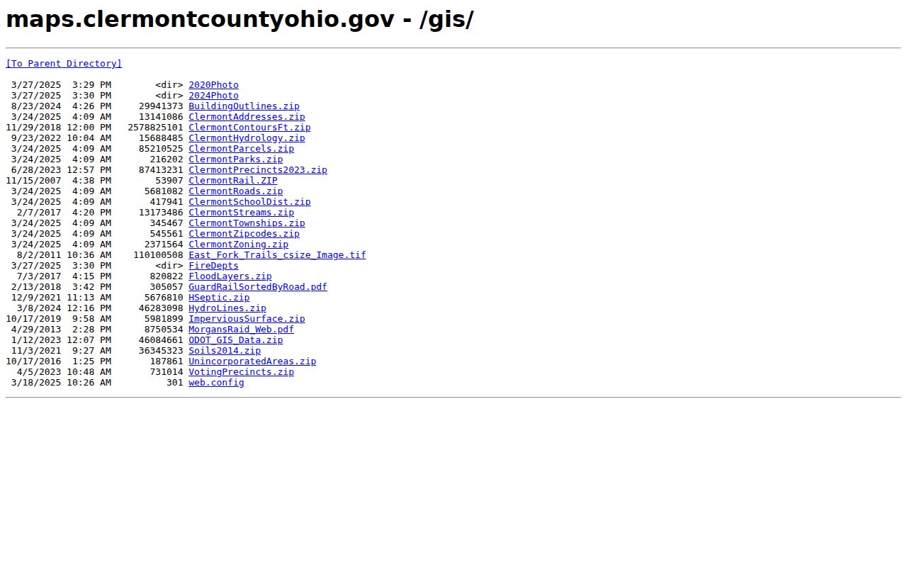
Turn on the Township, municipal, ZIP, parcel, road, and address-point layers together before choosing a Township or Village custodian.
The Township's official profile says its growth-plan scope includes all Township geography, including the Village of Batavia and parts of the Village of Amelia. This makes an address-level check more reliable than a shortcut based on 45103 or 45102. The graphic GIS map carries a county accuracy and completeness disclaimer, so a visible line is a research lead; contact GIS or the Auditor when a boundary is unclear.
Boundary caution. A ZIP code directs mail. Parcel location and the governing jurisdiction determine whether Township, Village, or county records should be requested.
Checking a Batavia Township ZIP Code
Use the USPS by-address tool for the delivery ZIP, then test that result against local property geography. The county map can combine relevant layers, but the public GIS search bases are address, parcel, owner, and road, not a documented ZIP form. Its training guidance advises entering less information when an exact address fails, such as a house number or partial road name. A matching road or parcel is outlined in red, and a left-click can open additional layer information.
The USPS ZIP Code Lookup image shows the address-first postal confirmation used with this Batavia Township ZIP code directory.
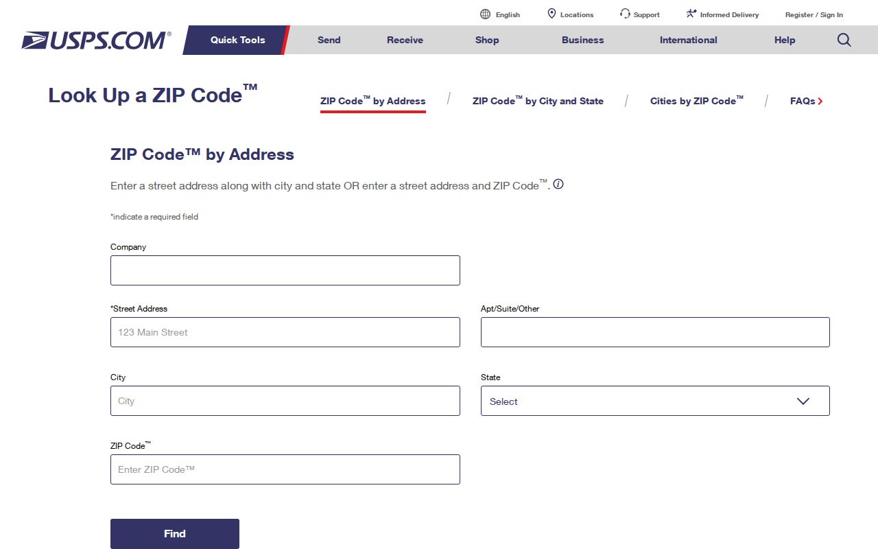
The live USPS result supplies the delivery label, while County GIS and parcel records identify the location that determines the local office.
- Enter the entire mailing address in USPS ZIP Code Lookup and retain the returned postal spelling and ZIP.
- Search the same address in the Clermont County Auditor system and record the source date, parcel or PIN, Full Address, and legal-description or subdivision clue.
- Open the parcel in GIS and compare Township, municipality, ZIP, road, address-point, parcel, voting-precinct, and zoning layers.
- Use the parcel's jurisdiction, not its postal city, to select Batavia Township Planning and Zoning, Village staff, or a county office.
- For an older address, compare the legal description and plat with Recorder materials, historic maps, newspapers, and the relevant period source.
Note: Record the USPS result date because delivery designations and live portal behavior can change after an address is initially checked.
Batavia Township Auditor ZIP Filter
The Auditor's regular public modes are Address, Owner, Parcel, Map, and Advanced. The ordinary screens inspected do not establish a public ZIP-wide owner search. Advanced Search is the documented ZIP-capable route. It includes Residential or Commercial group selection, a Show Distinct Results checkbox, range and date logic, and Add, Edit, Remove, Save, and Load controls. Its available criteria include Zip Code alongside Street Name, Street Number, Owner Name, Parcel Number, Legal, Neighborhood, Sales Date, and property characteristics. A result remains assessor parcel data, not a complete list of people connected to the ZIP.
| Auditor field or control | Type | How it helps | Limit |
|---|---|---|---|
| Zip Code | Advanced Search criterion | Narrows a property-record query to a postal area. | Does not establish every current person at an address. |
| Street Name and Street Number | Advanced Search criteria | Refines the property search after a ZIP or address is known. | Use the returned parcel, not a broad street assumption. |
| Owner Name | Advanced Search criterion | Supports property-record work where ownership is the issue. | Owner information is not a complete household record. |
| Parcel Number and Legal | Advanced Search criteria | Connects a property result to a recorded legal description. | Confirm the current document through the Recorder. |
| Show Distinct Results | Checkbox | Controls how results are displayed in the Advanced Search workflow. | Does not change the underlying record scope. |
The Clermont GIS downloads image points to the companion dataset path for a Batavia Township ZIP code directory search.
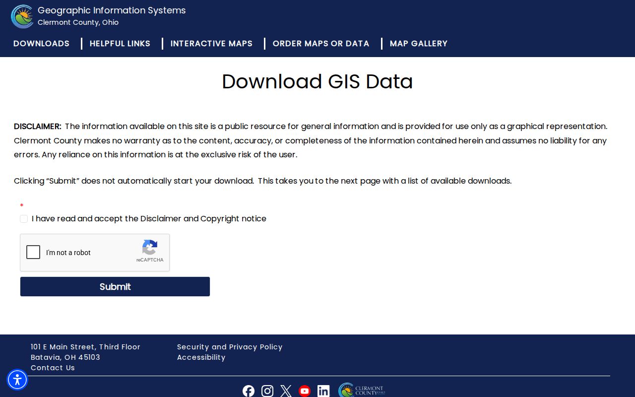
The download directory includes ClermontZipcodes.zip as well as parcels, address points, roads, municipalities, townships, zoning, precincts, and school districts.
Use the Clermont Auditor real-estate page for the current portal route, then follow the visible instructions and displayed result fields. The research date should remain with any property fact because the Auditor's 2026 reappraisal materials say current property values and details can change.
Finding Records by Batavia Township ZIP
A ZIP can narrow a property inquiry, but not every local system has a ZIP-based public search. County GIS accepts address, parcel, owner, and road searches. The state voter tool uses first name, last name, and county, then may offer a street selection after a match; Clermont Voter View requires name and date of birth. Neither inspected public screen is a ZIP browsing tool. The DATA Act archive can provide dated county voter-registration snapshots under its own access and handling conditions, but it is not a public interface for ZIP-wide person browsing.
After the Auditor result identifies a parcel, use the full address and legal description to choose the next custodian. The Recorder's CountyFusion path is searchable by party and document information, with online document images from 1980 to the present. Older material is available through Recorder office channels. For an address-specific zoning or permit question, ask Batavia Township Planning and Zoning or the issuing authority with the address, parcel, record type, and date range. The form portal is not a verified historical permit index.
When a ZIP narrows the area to a known road, use the Batavia Township street directory for the separate street-by-street parcel and deed workflow. The ZIP code directory stays focused on postal geography and the correct route to a specific record.
Batavia Township Mailing and Situs Fields
A local property search can show several address-like fields. Keeping them separate prevents a postal label from becoming an unsupported conclusion. The Clermont Auditor GIS Web App identifies Full Address as the site or situs field and MADDR1, MADDR2, and MADDR3 as owner mailing-address components. Those mailing fields can differ from the physical parcel. The legal description in a recorded instrument supplies the lot, block, subdivision, acreage, survey, or metes-and-bounds bridge when old and current postal wording do not match.
- ZIP code
- A postal routing code used to direct mail. It does not itself define a Township, Village, court, zoning, or parcel boundary.
- ZIP+4
- An added delivery-routing segment used with a ZIP. Verify the complete delivery form through USPS rather than inferring it from a nearby address.
- PO-box ZIP
- A ZIP associated with post-office box service. No Batavia Township PO-box-only ZIP was verified in the reviewed official sources.
- Unique ZIP
- A ZIP assigned to a single institution or organization. No such Township ZIP was verified in the reviewed official sources.
- Carrier route
- A postal delivery grouping. It is not a governmental boundary or a resident list.
The situs and legal-description fields should travel with a record request. If a historical road name or address number appears inconsistent, compare the present GIS parcel, the recorded plat or deed, and any historic map rather than trying to resolve the issue with ZIP text alone.
Batavia Township Historic Postal Trails
There is no verified Township-wide street-renumbering or renaming project with a date. The accurate warning is narrower: historical road names, legal descriptions, plats, subdivisions, and present parcel lines should be compared before two similar address labels are treated as the same location. The Recorder maintains records involving street-name changes, centerline surveys, annexations, and street or alley vacations. Those categories are the appropriate request when a specific road changed.
Batavia Township zoning began in 1962, and its Zoning Resolution and map have since been revised through statutory amendment and public-hearing processes. A dated zoning file may contain a building address, subdivision, lot, cross street, parcel ID, owner, project information, setbacks, road frontage, and zoning certificate number. It is a valuable property-history clue, but it does not list every person connected to an address.
For earlier evidence, combine the parcel's legal description with the Recorder, CCGS historic property-owner maps for 1870 and 1891, the 1885 Batavia Sanborn map for its mapped area, local newspapers, and the specific census or directory period. Each source has a different geographic reach.
Batavia Township ZIP Records Have Limits
The municipal and postal overlap makes caution part of every ZIP code directory search. The Auditor property record can offer parcel and ownership context, not a full current household list. GIS is graphical and carries a county disclaimer. CountyFusion documents a recorded title trail, not an address-first occupancy index. Voter interfaces have statutory exclusions, including Safe at Home participants and other protected information. A defined question, a parcel or legal-description clue, and the office of origin produce a more reliable request than a broad ZIP label.
Lawful-use reminder. Use public records for personal, civic, family-history, estate, property, or consumer-safety questions, and never use a record to stalk, harass, or harm anyone.
Under the Ohio Public Records Act, ORC 149.43, any person may request records. Inspection is free, copy charges are generally actual cost, and production must be prompt and reasonable rather than tied to a fixed statutory calendar. For a Township zoning file, identify the address, parcel, certificate or permit type, date range, and requested material. For county records, begin with the Auditor, Recorder, Board of Elections, or other office that created the record.